Pittsburgh International Airport
Roughly 6 miles from Coraopolis, about 15 to 20 minutes by road. Frequent flyers and flight crews know the 15108 ZIP well.
This corner of Allegheny County balances airport-adjacent convenience with old river-town character. The Montour Trail starts a short walk from the door, Robinson's shopping is minutes away, and the commute math works for travelers, workers, and families alike.
The short answer
Woodcrest Drive sits in the Enlow section of Moon Township on the 15108 side of Coraopolis, close to the Montour Run valley and the Robinson Township line. For day-to-day life, the address read like this: the airport is about 6 miles away and roughly 15 to 20 minutes by road, the Montour Trail's Coraopolis trailhead is walking distance, and Robinson's shopping and dining are minutes south.
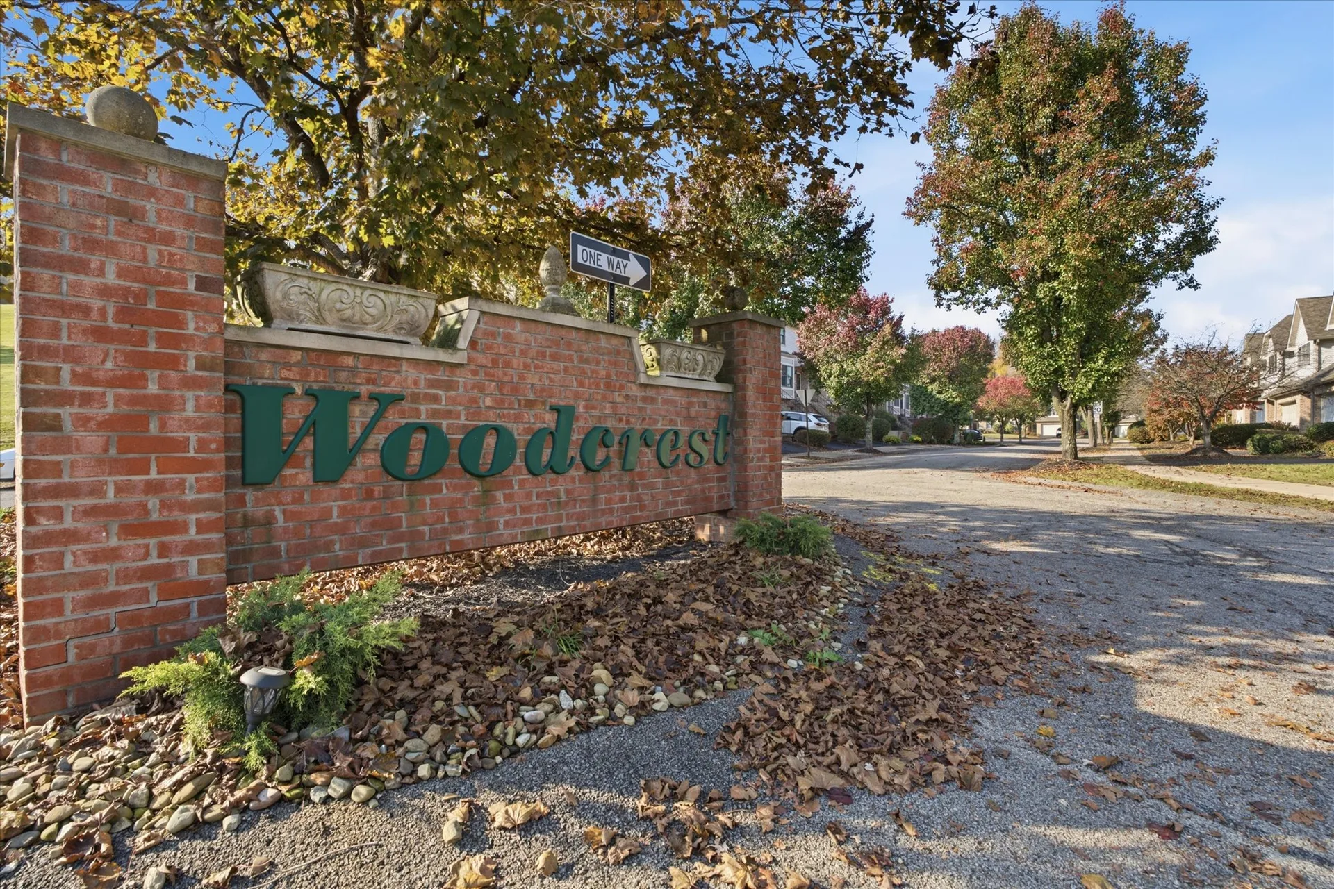
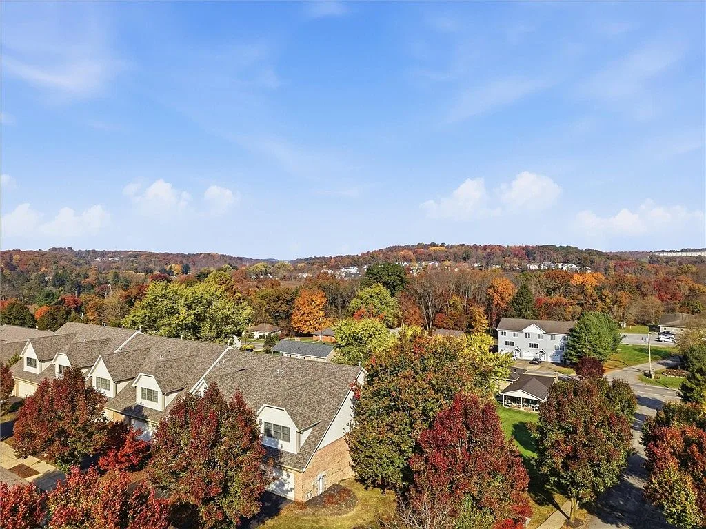
The condo community sits among mature trees off the main road, with a monument sign at the entry and rear decks that look out over the treeline. It is a quiet, kept-up pocket that trades the yards and shoveling for shared-wall convenience.
Getting around
Roughly 6 miles from Coraopolis, about 15 to 20 minutes by road. Frequent flyers and flight crews know the 15108 ZIP well.
The Mall at Robinson, Settlers Ridge, and a full strip of dining are a few minutes south on Steubenville Pike.
US 30, I-79, and the Parkway West (I-376) network put downtown Pittsburgh commutes within reach from this side of the county.
Distances are approximate driving-tool readings at the time of writing and vary with traffic and route.
Schools
Zoning data for Woodcrest Drive listings places this address in the West Allegheny School District, with the typical feeder path of Donaldson Elementary (K-5, Oakdale), West Allegheny Middle School (6-8), and West Allegheny Senior High School (9-12).
Boundaries can change and elementary attendance zones have been flagged for possible redistricting, so confirm the current assignment with the district before relying on it. Coraopolis Borough itself is served separately by the Cornell School District.
Oakdale
Imperial
Imperial
Typical feeder pattern for Woodcrest Drive per listing zoning data. Verify current boundaries with the district.
The trail
The Montour Trail's main line runs about 47 miles between Coraopolis and Clairton, with branches pushing the full system past 60 miles, making it one of the longest suburban rail-trails in the country. It earned National Recreation Trail status in 2017.
The Coraopolis trailhead, Mile 0, is just off Montour Road near the Ohio River, a short distance from Woodcrest Drive. Parking, water, and a picnic shelter sit at the start, and the surface is mostly packed limestone, open dawn to dusk for walking, running, and biking.
Highlights further down the line include the Enlow and Greer tunnels, and the trail connects into the broader regional network that reaches the Great Allegheny Passage.
47 mi
main line
0.0
mile marker in Coraopolis
2017
National Rec Trail
Local spots
Coffee in Coraopolis
1032 Fifth Ave, Coraopolis
Bakery & cafe
900 Fifth Ave, Coraopolis
Cafe near the river
401 Ferree St, Coraopolis
Breakfast, all day
6408 Steubenville Pike, Robinson
Pittsburgh icon
4501 Steubenville Pike, Robinson
Settlers Ridge dining
1210 Settlers Ridge Center Dr, Robinson
Italian & catering
5476 Steubenville Pike, McKees Rocks
Bakery, one bridge upriver
430 Beaver St, Sewickley
Independent local businesses, verified at the time of writing. Hours change, so check before you go.
Questions about the area
School moves, commute times, HOA details, what the trail is like at 7am: the team answers from local knowledge, not a script.